1/16/2025
1/16/2025
Landmark information
- Location:
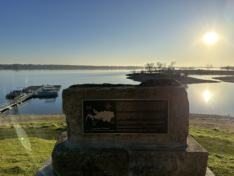
Marina, north shore of Comanche Lake - Plaque:
Plaque - Site:
Nothing remains - Date First Visited:
2/17/1997 - Date Most Recently Visited:
1/16/2025 - GPS Coordinates:
N 38 14.109, W 120 56.768
About this landmark
Plaque text:
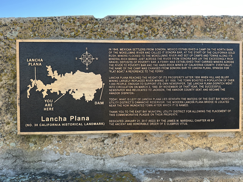
In 1848, Mexican settlers from Sonora, Mexico established a camp on the north bank of the Mokelumne River and called it Sonora Bar. At the start of the California gold rush, miners flocked to the Mokelumne River and set up camps and towns along its mineral-rich banks. Just across the river from Sonora Bar lay the exceedingly rich gravel deposits of Poverty Bar. A ferry was established that carried miners across the river to Poverty Bar and the hard-rock mines of Calaveras County. Eventually, the name of the camp was changed from Sonora Bar to Lancha Plana, Spanish for "Flat Boat," a reference to the ferry.
Lancha Plana reached the height of its prosperity after 1856 when hill and bluff mining largely replaced river mining. By 1858, the town boasted a population of over 1,000 people, enough to support its own newspaper. The Lancha Plana Dispatch went into circulation on March 3, 1860. By November of that year, the successful newspaper was relocated to Jackson, the Amador County seat, and became the Amador Dispatch.
Today, what is left of Lancha Plana lies beneath the waters of the East Bay Municipal Utility District's Camanche Reservoir. The modern Lancha Plana bridge is located near the now inundated town after which it is named.
Thank you to the Easy Bay Municipal Utility District for allowing the placement of this commemorative plaque on their property.
Dedicated January 21, 2017 (6022) by the James W. Marshall Chapter 49 of the ancient and honorable order of E Clampus Vitus.