7/13/2022
Landmark information
- Location:
Intersection of E Clinton and Clinton Rd, 1.0 mi SE of State Hwy 88, 3.2 mi SW of Pine Grove - Plaque:
Other Plaque - Site:
Nothing remains - Date First Visited:
3/1/1996 - Date Most Recently Visited:
7/13/2022 - GPS Coordinates:
N 38 37.914, W 120 10.281
About this landmark
Plaque text:
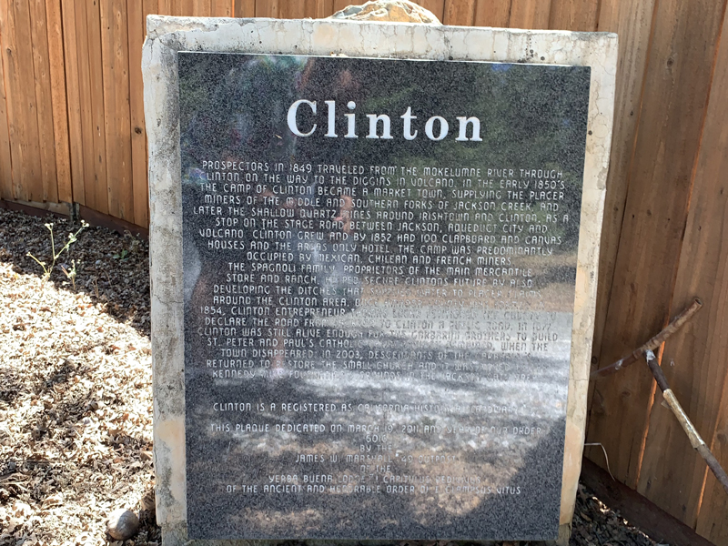
Clinton
Prospectors in 1849 traveled from the Mokelumne River through Clinton on the way to the diggins in Volcano. In the early 1850's the camp of Clinton became a market town, supplying the placer miners of the middle and southern forks of Jackson Creek, and later the shallow quartz mines around Irishtown and Clinton. As a stop on the stage road between Jackson, Aqueduct City and Volcano, Clinton grew and by 1852 had 100 clapboard and canvas houses and the areas only hotel. The camp was predominantly occupied by Mexican, Chilean and French miners.
The Spagnoli family, proprietors of the main mercantile store and ranch, helped secure Clinton's future by also developing the ditches that supplied water to the placer claims around the Clinton area. Once Amador County was formed in 1854, Clinton entrepreneur Thomas Lochr petitioned the county to declare the road from Jackson to Clinton a public road. In 1877 Clinton was still alive enough for the Garbarini brothers to build St. Peter and Paul's Catholic Church which remained, when the town disappeared. In 2003, descendants of the Garbarini's returned to restore the small church and it was moved to the Kennedy Mine Foundation's grounds in the Jackson Gate area.