1/15/2025
1/15/2025
Landmark information
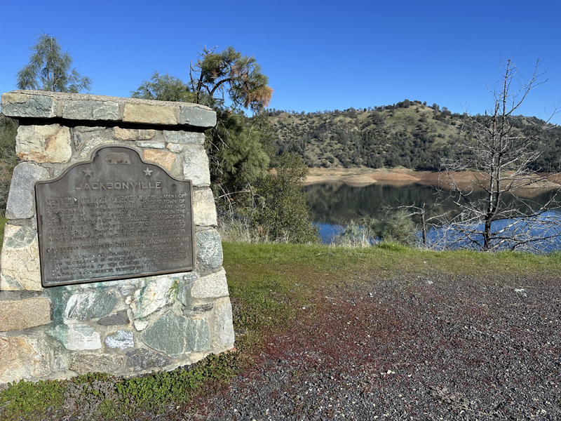
- Location:
Vista point at N approach to Don Pedro bridge, Hwy 120/49, 3.5 mi SE of Chinese Camp - Plaque:
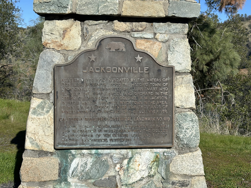
Official State Plaque - Site:
Nothing Remains - Date First Visited:
6/19/1998 - Date Most Recently Visited:
1/15/2025 - GPS Coordinates:
N 37 50.674, W 120 22.934
About this landmark
Plaque text:
Jacksonville
Near this site, now inundated by the waters of Don Pedro Reservoir, stood the historic town of Jacksonville. It was settled by Julian Smart who planted the first garden and orchard in the spring of 1849. Named for Colonel A.M. Jackson. In 1850 it was the gathering center for thousands of miners working the rich bed of the Tuolumne River.