8/4/2000
8/4/2000
Landmark information
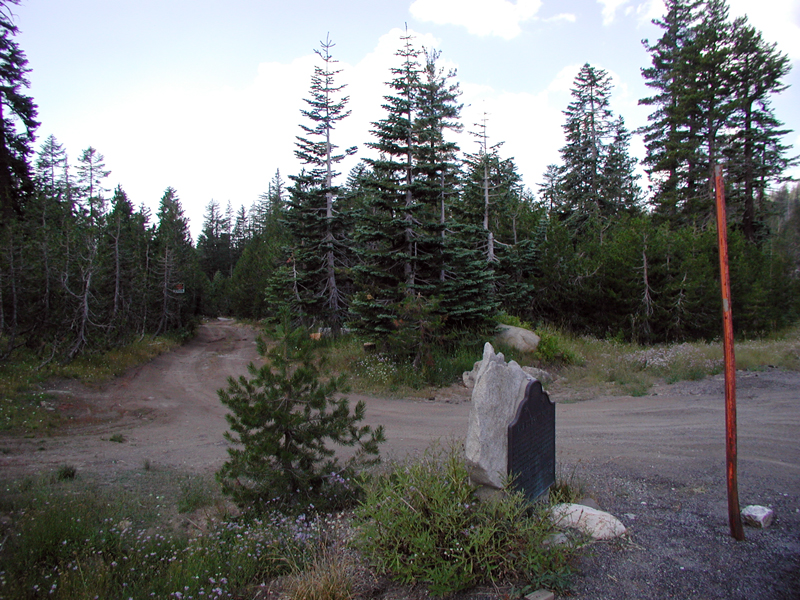
- Location:
Hwy 88 (PM 63.1) at Mud Lake Rd, 8.7 mi W of Kirkwood - Plaque:
Official State Plaque - Site:
Existing - Date First Visited:
8/4/2000 - Date Most Recently Visited:
8/4/2000 - GPS Coordinates:
N 38 38.244, W 120 8.55
About this landmark
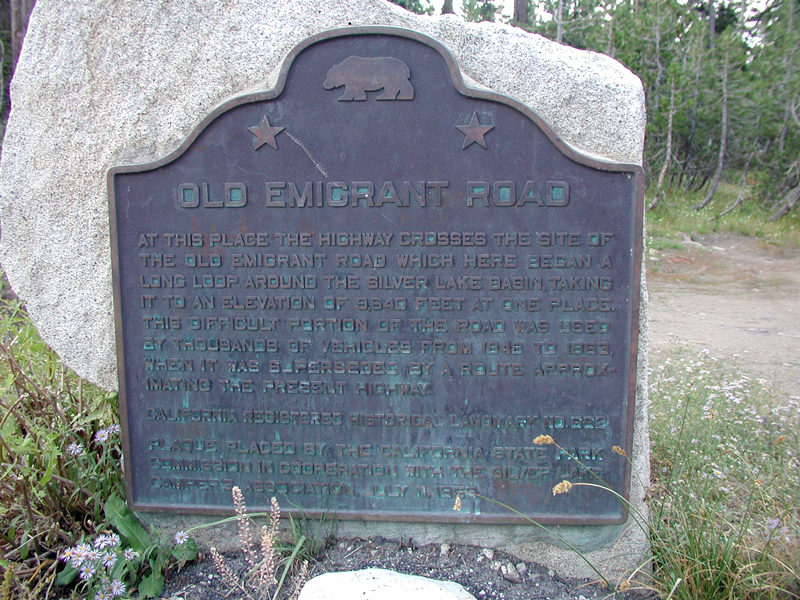
Plaque text:
Old Emigrant Road
At this place the highway crosses the site of the old emigrant road which here began a long loop around the Silver Lake Basin, taking it to an elevation of 9,640 feet at one place. This difficult portion of the road was used by thousands of vehicles from 1848 to 1863, when it was superseded by a route approximating the present highway.